12.03.2021
Press Release
In the research project "SattGrün", researchers from the Leibniz Centre for Agricultural Landscape Research (ZALF) have been working over the past three years on technical solutions for economic and ecological grassland management, in collaboration with scientific institutions and technology companies. The resulting tools were presented at the project's final workshop at the end of February.
Farmers have a number of information tools at their disposal for arable farming that aid decision-making, for example on the best time to apply fertilizer or provide crop protection. Until now, however, no such tools have been available for grassland management. An important goal of the "SattGrün" project was therefore to help close this gap as far as possible and create an initial technological offering. "The project has developed valuable technical foundations for tools that are useful for managing intensively-used meadows", explains Prof. Claas Nendel, co-head of ZALF's "Data Analysis and Simulation" research platform and professor of Landscape Systems Analysis at the University of Potsdam. "In addition, the tools can provide recommendations on which sites grassland should be intensively managed to maximize carbon sequestration in the soil, and which sites are more suited to extensification for increased biodiversity. These information and simulation tools will be available in the foreseeable future for both farmers’ and public use in Germany."
Grassland important for agriculture, environment and climate
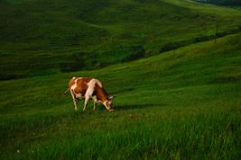
Grassland makes up 28 percent of agricultural land. Meadows and pastures provide fodder for farm animals such as cows, sheep and horses. But grassland also performs important ecological functions as a carbon sink and for maintaining the quality of groundwater. "In recent years, we have observed that productivity, soil organic matter content and biodiversity in grasslands are decreasing", Nendel explains. However, in order to maintain the yield of pastures and meadows as a source of green fodder and their important ecological functions, they must be managed in a way that is appropriate to their location, just like arable land.
Agriculture and ecosystem services considered together
The tools, which were developed on the basis of the "SattGrün" project, provide information by evaluating high-resolution satellite images from the Copernicus project, on how much biomass has formed in the grassland, for example, and can record which grassland areas were mowed and when. The applications go beyond information for pure management, such as for fodder production, and also provide assessments of so-called ecosystem services of grassland. These are ecosystem functions that benefit society. The tools developed in the project simulate, for example, biodiversity on green areas, the extent of nitrate leaching from the soil and the amount of carbon that the grassland absorbs from the atmosphere and stores in the soil. In addition, the tools can provide information on which grassland areas are suitable for which intensity of use in order to generate specific ecosystem services at these sites and support environmental protection.
Project partner:
- Leibniz Centre for Agricultural Landscape Research (ZALF)
- Farm Facts GmbH, Pfarrkirchen
- Vista GmbH - Remote Sensing in Geosciences, Munich
- Humboldt University of Berlin
- Julius Kühn Institute (JKI), Braunschweig
- Deutscher Wetterdienst (DWD), Braunschweig
- Helmholtz Centre for Environmental Research (UFZ), Halle/Leipzig
Funding notice:
The research project was assigned to the “Richtlinie über die Förderung von Innovationen für eine nachhaltige Grünlandwirtschaft” as part of the “Programm zur Innovationsförderung” of the Federal Ministry of Food and Agriculture (BMEL). The 1.5 million euros invested by BMEL covered 80 percent of the total costs of the project.
 Press Release as PDF-File
Pictures
For downloading the pictures please click on a picture and use the icon.

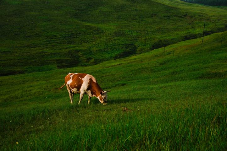
Caption: The research project "SattGrün" developed the technical basis for satellite-based tools that provide information for ecological and economic grassland management. Source: © Gang Coo - Unsplash.

