Press Release
A new research project on ecosystem services of grassland has been launched at the Leibniz Centre for Agricultural Landscape Research (ZALF) in Müncheberg. The focus is on satellite data, which has recently been made available free of charge through the Copernicus programme. This data, which has a high temporal and spectral resolution, will be used to feed modern simulation models which in turn provide decision support for grassland management through simulations.
The project brings together researchers from
Humboldt University of Berlin, Julius Kühn Institute, the German Meteorological Service, the Helmholtz Centre for Environmental Research (UFZ), ZALF and companies that already have practical experience in site-specific agricultural management, also known as precision farming. Farm Facts GmbH, Pfarrkirchen, and Vista GmbH, Munich, will develop cost-based site-specific products as part of the project, while the public research institutions will develop free-of-charge but larger-scale offers. The latter addresses the need for advice at both the federal and provincial level, where the project will provide valuable input for the identification of sites well-suited for grassland and scenarios on management options for climate change adaptation.
The research project is assigned to the Directive on the Promotion of Innovations for Sustainable Grassland Management as part of the Innovation Promotion Programme of the Federal Ministry of Food and Agriculture (BMEL). BMEL has invested 1.5 million euros, which is 80 percent of the total cost of the project.
The project is supported by funds of the Federal Ministry of Food and Agriculture (BMEL) based on a decision of the Parliament of the Federal Republic of Germany via the Federal Office for Agriculture and Food (BLE) under the innovation support programme.
 Press Release as PDF
Project partners:
- Leibniz Centre for Agricultural Landscape Research (ZALF) (www.zalf.de)
- Farm Facts GmbH, Pfarrkirchen
- Vista-Geoscientific Remote Sensing GmbH, Munich
- Humboldt-University of Berlin
- Julius Kühn Institute (JKI),Braunschweig
- German Meteorological Service (DWD), Braunschweig
- Helmholtz Centre for Environmental Research (UFZ), Leipzig
More information is available at:
Picture
For downloading the pictures please click on a picture and use the
 icon.
icon.
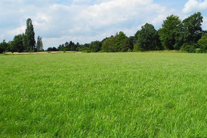
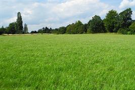
The researchers use satellite data to help them make decisions on grassland management | The image is released for editorial reporting purposes provided the source of the image is given: © ZALF / Claas Nendel.

