26.09.2025
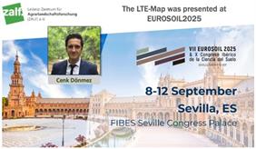
At EUROSOIL 2025 in Seville-Spain, the Long-Term Field Experiments (LTE) Overview Map (LTE-Map)
(https://tools.bonares.de/ltfe/) was presented by Dr. Cenk Dönmez to the international soil science community. The congress, organized by the European Confederation of Soil Science Societies (ECSSS), welcomed more than 1,000 registered participants from research, policy, and practice (eurosoil2025.eu).
The LTE-Map was highlighted as a ZALF product; a key tool for supporting long-term monitoring and fostering collaboration across Europe and beyond. It currently documents over 700 LTEs with (meta)data from six continents. Valuable exchanges took place with the international soil community, as well as with members of the SoilWise project, as a project partner, on how the platform can support the European Soil Observatory (EUSO) and contribute to shared sustainability goals.
The strong interest generated at EUROSOIL 2025 will guide further development of the LTE-Map and expand its applications in research and policy dialogues.

