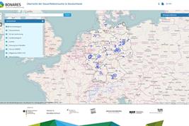
The BonaRes-Centre has collected meta-data regarding long-term field experiments. These information are brought together and are now released in an interactive online-map.
The aim is to make long-term field experiments more visible and to make information about them easier accessible for the public. The interactive online-map offers different search- and display-functions.
More information (in German language) will be find on the map:
https://b-web-e.bonares.de/uebersichtskarteDFV/
Picture
For downloading the picture please click on a picture and use the
 icon.
icon.
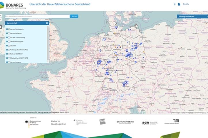
Online-map for long-term field experiments: Quelle: © Meike Grosse.

