26.08.2024

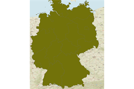
The dataset comprises spatial rasters of the sand, silt and clay content throughout Germany (agricultural soils) from 0 to 100 cm depth. It has a raster resolution of 100 m and comprises depth slices of 1 cm.
It was generated by machine learning with a convolutional neural network model. The performance was evaluated with a median RMSE of 17.8% for the sand, 14.4% for the silt, and 9.3% for the clay content in the top ten centimeters. At a depth of 40 cm, this rose to 20.9, 16.5, and 11.8% respectively. All methodological details are provided in: Ließ, M. and Sakhaee, A. (2024).
Download dataset:
https://doi.org/10.20387/bonares-ss02-6dys
You can also upload your data here:https://upload.bonares.de
